SAN FRANCISCO (BRAIN) — AllTrails an online guide to the outdoors used by hikers, runners and cyclists, has announced a new partnershipwith leading air quality analytics provider, BreezoMeter, to offer real-time, hyperlocal air quality data. Alltrails' Pro users will now be able to choose the best routes for their activities by taking air quality into consideration.
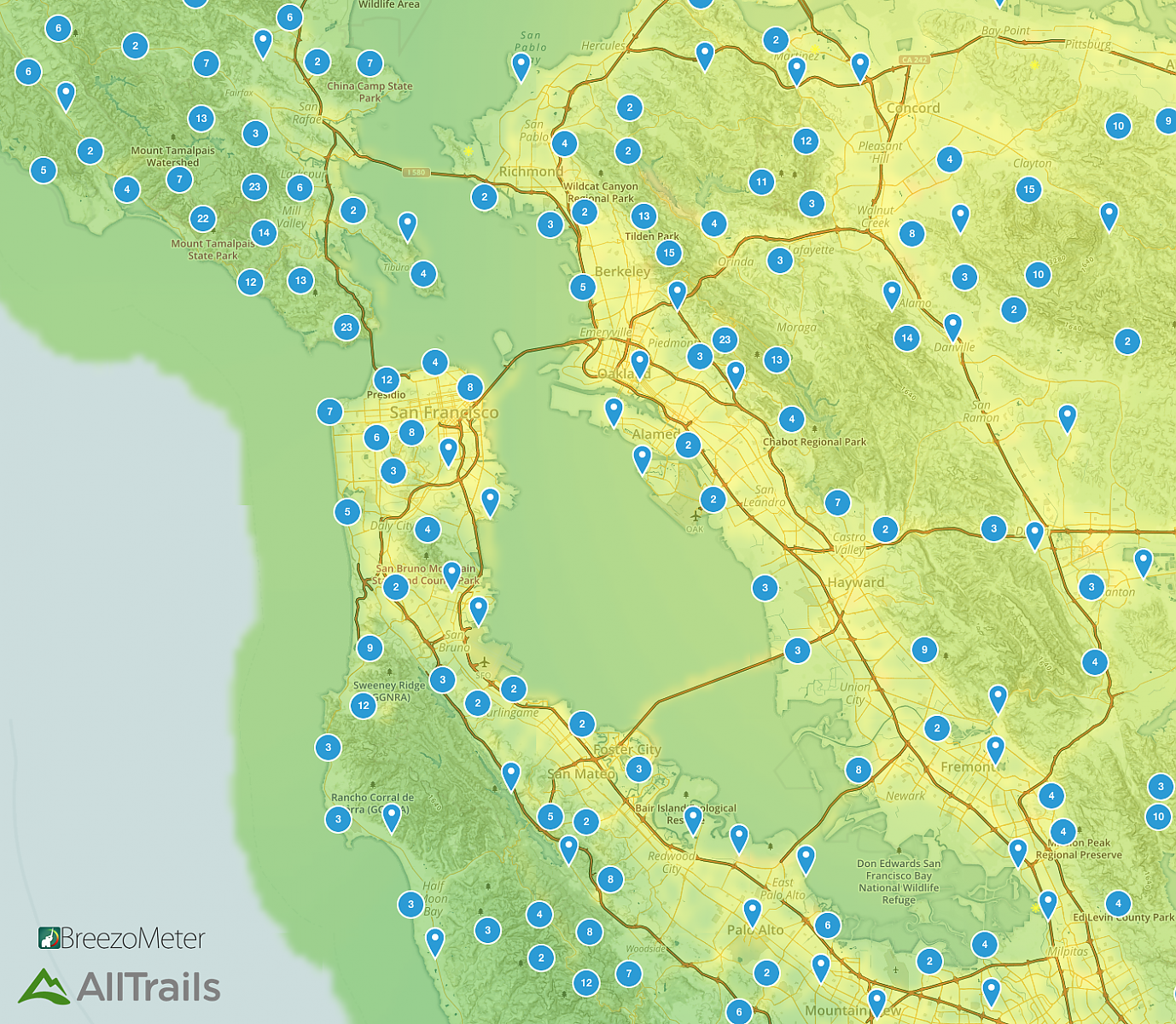
The new partnership will allow for an easy to understand color-coded air pollution map to layer over the trail maps on the Alltrails platform.
"With air pollution becoming an increased health concern, this data is integral to informing our users of local air quality conditions and keeping outdoor enthusiasts healthy while out on the trails," said Ron Schneidermann, the CMO at Alltrails.
BreezoMeter provides data on 17 different pollutants and three different types of pollen as part of its analysis.
"We're very excited to work with a leading outdoor recreation company like AllTrails," said Daniel Elkabetz, head of business development at BreezoMeter. "It's a great fit for us to help put actionable data in front of people who need it to make better decisions for their health. Hikers, runners, and bikers of all skill levels need good air quality to ensure top performance, and with Alltrails' Pro version, they can now see which trails are the best for them at any given time."
More information at alltrails.com and breezometer.com.